|
Ouch! That 's going to leave a mark.
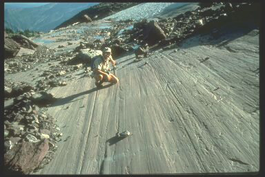 This photo, taken in Glacier Park, shows scratches on bedrock that were made as a valley (a.k.a. alpine) glacier moved across here. Large rock fragments stuck to the bottom of the ice caused the gouges, which are called "glacial striations." This photo, taken in Glacier Park, shows scratches on bedrock that were made as a valley (a.k.a. alpine) glacier moved across here. Large rock fragments stuck to the bottom of the ice caused the gouges, which are called "glacial striations."
How to track a glacier . . .
Striations help determine which direction ice was flowing as it moved across an area. In Glacier Park where valley glaciers existed in stream drainages it's obvious that the ice flowed downhill. However, with the much larger continental glacier that grew southward from Canada during the last ice age, striations help geologists locate "centers" where the ice started to grow from before it merged to form the single ice sheet that covered Canada. In fact, striations found in various parts of Canada indicate that there were three places in northern Canada where snowfall accumulations contributed to the ice sheet that eventually reached the lower 48.
How far south? . . .
The huge glacier left other clues that help geologists determine how far south it advanced. For example, large (and small) metamorphic rocks brought from Canada by the ice can be found as far south as the Missouri River in central and eastern Montana. In some places ridges of till, called "terminal moraines", mark the farthest advance of the ice. The town of Polson is built on one of these moraines. Moraines in southern Illinois indicate that the continental glacier grew much farther south in the Midwest than it did in Montana.
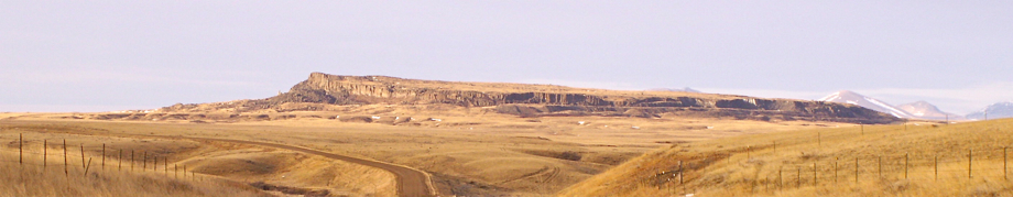
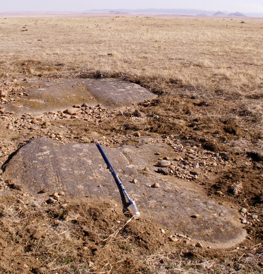
Below: This striation is one of many that can be found on top of Snake Butte on the Ft. Belknap Reservation in north-central Montana. The Snake Butte striations were caused by the continental glacier that grew into Montana from Canada during the most recent ice age. The orientation of the striations here indicate the glacier was flowing toward the southeast (photo) as it moved up and over Snake Butte. Furthermore, large pieces of Snake Butte transported by the glacier can be strewn along a line to the southeast of Snake Butte (photo). This "Snake Butte Boulder Train" confirms that the glacier was flowing toward the southeast as it moved through this part of the Ft. Belknap Reservation To see a much larger version of the photo below click here. 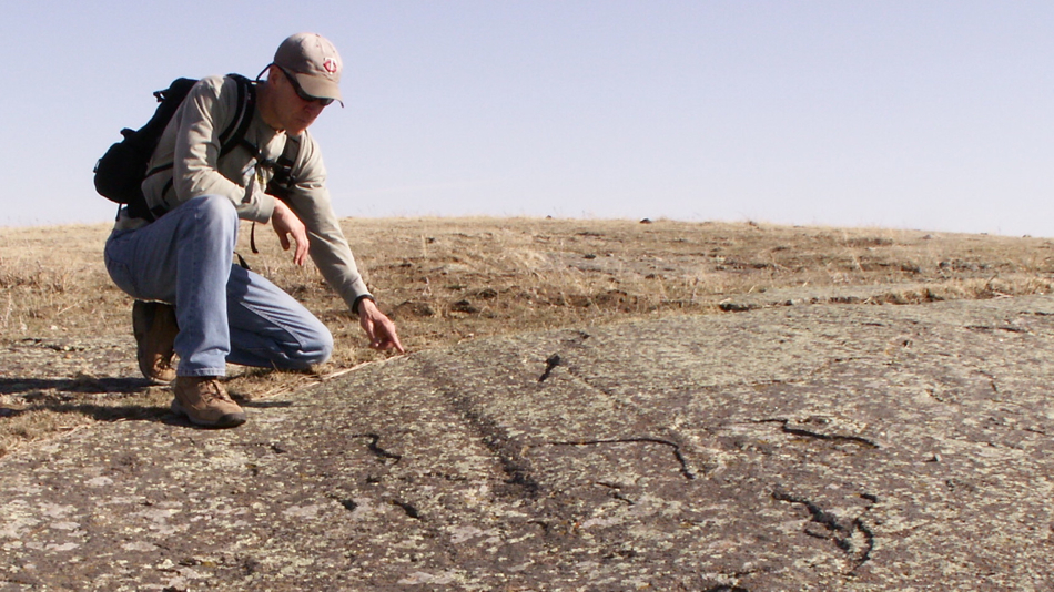
Term: moraine
| 
