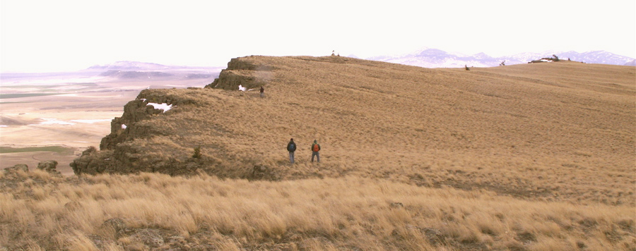

 Approaching the Cliffs on the East Side of Crown Butte Three hikers are headed toward the eastern edge of the Crown Butte where the plaque (shown below) can be found. Crown Butte is located between Great Falls and the Rocky Mountains, along the southern end of what Montanans refer to as "the Rocky Mountain Front". The butte was purchased by the Nature Conservancy in order to preserve the natural grassland ecosystem located on top of the butte. Except for an occasional hiker, the ecosystem sits undisturbed about 1,000 feet above the surrounding northern great plains. The butte's geologic past . . . Square Butte, which can easily be seen from the highway between Great Falls and Cascade (see photo below), is the most prominent of the four buttes. Dikes from the buttes form ridges that stand over 50 feet high that can also be seen converging near the town of Cascade, 20 miles southeast of Crown Butte. The dikes provided pathways for molten rock to move from the magma chamber to the laccoliths ("lakes of rock") . . . All of this happened under ground (intrusive). Proceed to the next page to learn more.  *Source: Sheriff, S.D., and Gunderson, J.A., 1990, "Age of the Adel Mountain volcanic field, west-central Montana": Isochron/West, no. 56, p 21-23. |

 |
4. The Geologic Setting |