
|
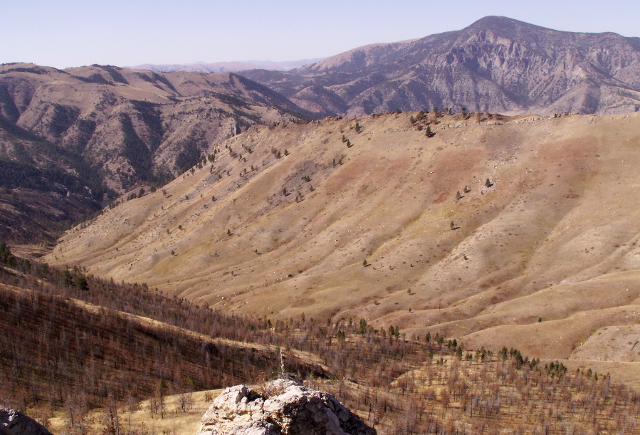
Below: This photo, taken from the turn-around point (#6), shows the slope the crew would have seen as they turned away from the approaching flames and began making their way up gulch and toward the ridge. There would have been many more trees here in 1949.
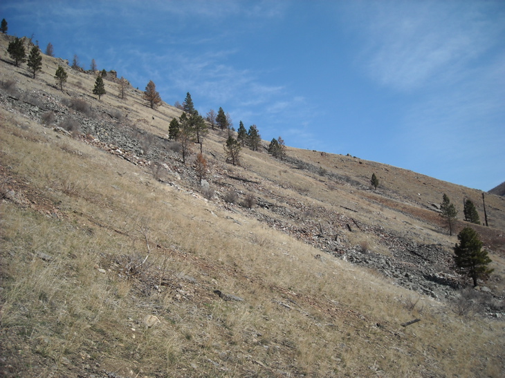 Photo Courtesy of Jim Day After turning and walking approximately 450 yards, Dodge could see that the blaze was gaining on them. At point 7 he ordered the men to drop their packs and heavy tools (5:53 p.m.). . . The race was on. After struggling up the steep slope for a couple minutes, Dodge realized that they would not be able to outrun the blaze, so at location 8 he decided to set what would come to be known as an "escape fire". . . Using matches, he lit the grass on fire, and then entered this burned area where he survived as the main fire burned around him. Dodge was lifted off the ground two or three times by the strong updrafts (convection) generated by the fire. Two of the men, Rumsey and Sallee, chose a more direct path to the top of the ridge, crossing over above the area between points 9 and D. From there they scampered down to a rockslide where they survived as the fire crossed over into that area. Another smokejumper, Hellman, also made it over the ridge, but was so badly burned before crossing over that he died the next day in Helena. The rest of the men were found between locations A and L. Harrison died at location D where the melted watch on his wrist told that the fire reached him at 5:56 p.m. According to fire scientist, Richard C. Rothermel, the fire probably caught Henry Thol (L) at 5:57 p.m. 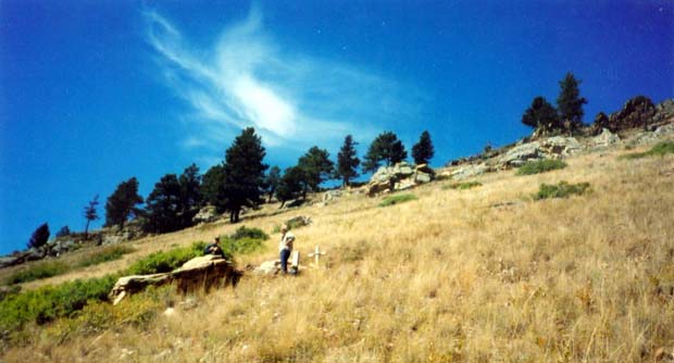 Above: This view shows "Sylvia's Rock". The trees in the background probably survived because Dodge's spot fire burned away the fuels beneath them. The trees have burn marks on their bark that go up several feet above the ground. As a result the main fire, which was much hotter, burned around that particular stand of trees. UPDATE: The trees in this area have all died and been toppled over by the wind (beetle kill). Sallee questions the location . . .
|
 |
Next: Dodge sets an escape fire. |