|
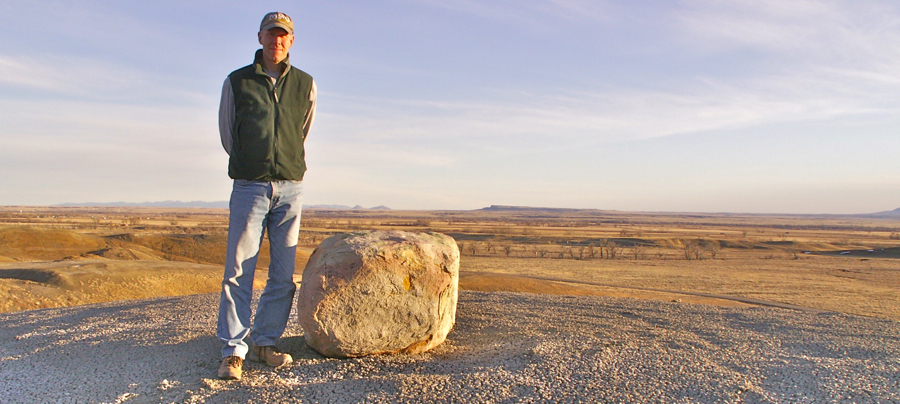
This photo was taken a few miles northwest of Harlem. Harlem is located in north-central Montana, about 45 miles east of Havre. The photo features 5 different topics . . . two related to the last ice age, and three that involve volcanic activity.
1. Hardened magma . . . Fire! (Move your cursor over the image to see the numbers.)
2. Not from around these parts . . .
Ice!
3. Hills of "bentonite" . . . More
fire!
4. Too big for this little river . . . More
ice!
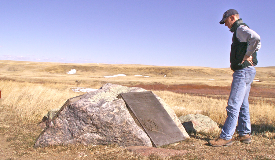
5. Snake Butte . . . More fire! Below: Here is another Hi-Line erratic. This one is located at the Bear Paw Battlefield south of Chinook. It is a metamorphic rock called "gneiss" (pronounced "nice").
Terms: erratic, bentonite |
 |
*More about that inland sea |
|
*Ancient path of the Missouri River |
|
Other pictures of the week |
|
Next picture |
|
Earth Science Teacher at Helena High School |