
|
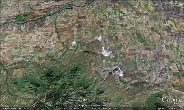
The Shonkin Sag winds its way from Highwood to Square Butte. The ancient channel is over 50 miles long, about 1.5 miles wide, 300 feet deep. Although Lost Lake is not part of the main channel, at some point water from Glacial Lake Great Falls had to flow across the Lost Lake area, perhaps during an outburst flood. Outburst floods happen when glacial lakes burst through the dam of glacial ice that is holding them back. The brackish lakes, including Lost Lake, contain water simply because they are lower than the water table. The water comes from precipitation that has soaked through soils and rock layers in the surrounding area. As it moves through these materials, it dissolves mineral salts. Then, as water evaporates from the lakes, the salts are left behind.
|
 |
Back to the Shonkin Sag Laccolith page |
|
Back to the Lost Lake page |
|
Earth Science Teacher at Helena High School |