
|
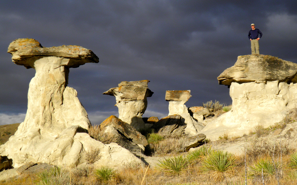
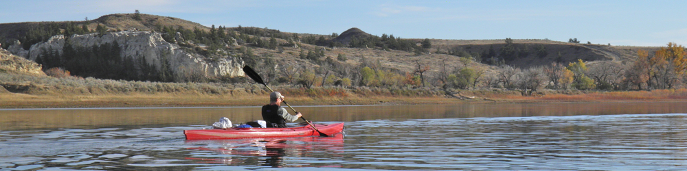
Photo by Jim Schulz This photo was taken in near the Missouri River, 40 miles east of Fort Benton (another photo). The layers of especially light colored sandstone found in this area are a part of the Eagle Formation, which owes its existence to sand deposited during the Cretaceous Period along the coast of a shallow sea. In order for the sand to become rock it had to be compressed and cemented. The weight of overlying layers (since been eroded away) provided the compression. As for the cement, most of the sandstone in this area is held together by calcite, which dissolves fairly easily in water. Consequently, the Eagle sandstone erodes quite easily compared to other rocks.
It helps to wear a cap . . . A Montana Treasure . . . Below: This photo was taken near Coal Banks. The one at the top was taken two days later, about 30 river miles downstream from the formation shown below. 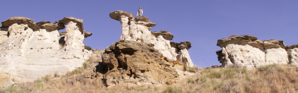 Terms: lithification, Cretaceous Period If you are interested in learning more about this area, this book is a good resource: Magnificent Journey: A Geologic River Trip with Lewis and Clark through the Upper Missouri River Breaks National Monument by Otto Schumacher and Lee Woodward |
 |
*More about the geology of the White Cliffs Area |
|
*More about the shallow sea |
|
*More about the White Cliffs area |
|
List of pictures of the week |
|
Next picture of the week |
|
Earth Science Teacher at Helena High School |