|
The Little Rockies: Surrounded by a wall of
limestone 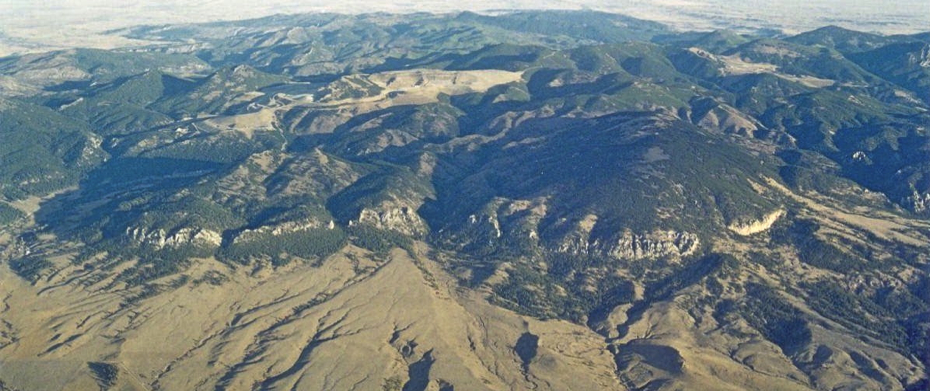
Photo courtesy
of the Bureau of Land
Management
This aerial photo shows the southern edge of
the Little Rockies in north-central Montana. An
open-pit gold mine once owned by Pegasus
Gold is visible near the center of the
photo. The light-colored cliffs in the
foreground are made of Madison Limestone,
a sedimentary rock laid down during the
Mississippian Period about 340 million years
ago.
Tropical Montana . . .
Geologists believe that the sediment
accumulated in thick horizontal layers on the
floor of a shallow tropical sea. Although
sedimentary rock is formed in horizontal
layers, the cliffs are made of layers of
limestone that have been tilted into a vertical
position. The vertical limestone wall can be
seen around most of the perimeter of the
Little Rockies.
Magma got "pushy" . . .
The presence of this wall is due to the
same geologic processes that deposited the
gold in this area. Both involved magma.
About
60 million years ago, magma
worked its way up to the Madison Limestone
causing it to be domed upward. Eventually the
magma hardened, becoming a type of
igneous rock (syenite porphyry: red on the diagram below). The dome was about 15-20
miles in diameter. Over time, most of the
limestone above the igneous rock was
eroded away, leaving only the vertically tilted
edge of the limestone dome, which forms the
cliffs shown in the photo.
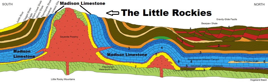
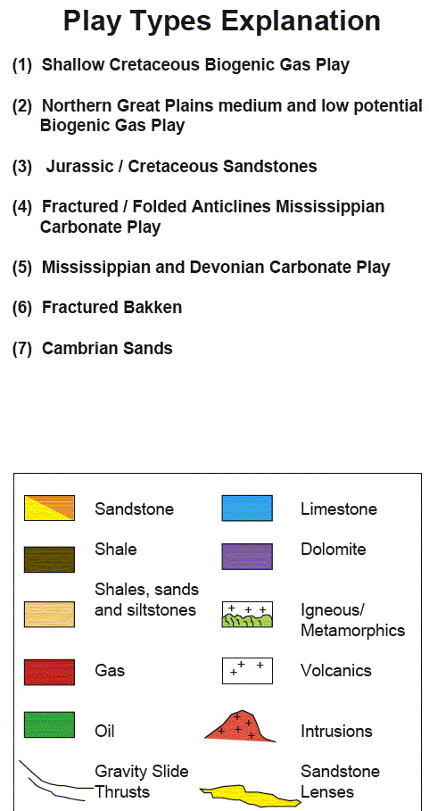
Above: This cross-section diagram shows the tilted Madison limestone that forms the cliffs. The core of igneous rock (syenite porphyry) is the red area on the diagram. Key for Diagram (Image courtesy of the Department of Energy)
Below: The wall, which is the bottom
edge of the dome, is all that remains. In the
diagram below, the Madison limestone
is the light blue area that encircles the
igneous core (red) . Courtesy of the Montana
Bureau of Mines and
Geology 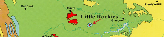
More about the Madison Limestone . .
.
Limestone is primarily made up of
the
mineral called calcite. Seaweeds in the
shallow sea probably precipitated much of the
Calcite. Shells (also made of calcite)
accumulated on the sea floor, adding to the
thickness. The lower part of the Madison
Limestone is called the Lodgepole Formation,
named after a small town on the northern
edge of the Little Rockies. The upper part,
called the Mission Formation, is named for
Mission Canyon on the west side of the Little
Rockies. Each formation is about 1,000 feet
thick.
Where else will you see the Madison
Limestone? . . .
The same
prominent
limestone can be found in other part of
Montana, including the Sawtooth Range
between Helena and Glacier Park, Lewis and
Clark Caverns, the Gates of the Mountains
north of Helena, in the Castle Mountains near
White Sulphur Springs, in the Judith
Mountains, in Bighorn Canyon, in the Sweet
Grass Hills north of Shelby, and in the Little
Belt Mountains south of Great Falls.
Terms: Mississipian Period, limestone
| 
